Micro VPS Technology
Theseus' Micro VPS solves the key challenge preventing drones from operating reliably in contested environments.
Our Visual Positioning System (VPS) uses cameras, an inertial measurement unit, and pre-loaded satellite imagery to determine it's position and send a simulated GPS signal to any drone.
Visual odometry
Theseus tracks key points from all four onboard cameras from frame to frame to estimate motion relative to the ground. This approach yields a baseline position track that performs exceptionally well at low altitudes and even over feature-sparse terrains or short stretches of water.

02
Map matching
We compare camera images captured by the Micro VPS’ sensors to a vast onboard database of satellite maps. Our algorithm has been designed to be resilient to variations in the terrain and seasonal changes in the environment. This ensures that we can achieve reliable absolute positioning, cold starts, and effectively recover from faults, regardless of season or terrain modifications.

03
Real-time fused position
By combining the visual odometry with map matching, we have the benefits of both approaches packaged into a standard NMEA stream that can be read by any flight controller.


Key features
Plug-and-play integration
Theseus’s Micro VPS is designed for effortless installation, allowing quick deployment without extensive modifications or technical expertise. Integrations with PX4 or ArduPilot typically take under 30 minutes.
Immune to jamming
Operate confidently in contested environments with a system that doesn’t rely on vulnerable GPS signals, or any other RF, ensuring uninterrupted navigation.
Versatile for any drone
Compatible with Group 1 drones to light aircraft, Theseus adapts seamlessly to different platforms, enhancing capabilities without hardware limitations.
Ultra-Low SWAP-C
We heavily optimize hardware and software to deliver the lightest, smallest and most power efficient VPS on the market.


Use Cases
Expand your drone’s potential with GPS-free navigation across urban, rural, and the most remote terrains, unlocking missions previously impossible.
Deserts
Navigate vast, open landscapes. Theseus' Micro VPS has been tested in harsh arid environments to ensure reliable operation even in feature sparse settings.

Forests
Operate effectively in dense, canopy-covered territories. We can perform map matching even if foliage obscures view of the ground.

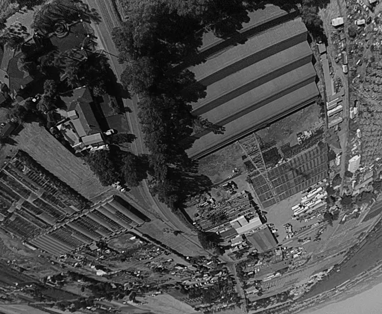
Urban
The Micro VPS performs exceptionally well over urban environments, regardless of multi-pathing, jamming or alterations in the skyline compared to satellite maps.
All Season
Perform reliably in any weather, from scorching heat to freezing cold, ensuring mission success year-round.
